
IMO MFA Held Presentation “Atlas of Delimitation of Maritime Spaces”
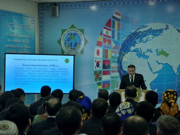
On December 18, 2019, the presentation of the “Atlas of the Delimitation of Maritime Spaces” was held at the Institute of International Relations of the Ministry of Foreign Affairs of Turkmenistan.
The event was attended by the representatives of the Academy of Sciences of Turkmenistan, Turkmen State University named after Magtymguly, the Institute of International Relations of the Ministry of Foreign Affairs of Turkmenistan, the Ministry of Defense of Turkmenistan, the Institute of the Caspian Sea of Turkmenistan, various ministries, departments, scientific and educational institutions of Turkmenistan.
On August 12, 2018, at the Fifth Caspian Summit in Aktau, the Presidents of Turkmenistan, Azerbaijan, Iran, Kazakhstan and Russia signed the Convention on the Legal Status of the Caspian Sea. The Convention, among other things, provides for the delimitation of the sea into inland waters, territorial waters, fishing zones and the common water area, and also determines the legal regime of these sea spaces.
In order to prepare reference and illustration material for the negotiation process, as well as to further study issues related to the delimitation of sea spaces, the Institute of the Caspian Sea of Turkmenistan, together with the Ministry of Defense of Turkmenistan and the Geography Department of Turkmen State University named after Magtymguly, prepared an “Atlas of Delimitation of Maritime Spaces ".
Atlas covers all oceans. The publication was prepared in three volumes in the Turkmen and Russian languages. The Atlas shows the borders and external borders of the territorial seas, adjacent zones, exclusive economic zones, continental shelves, fishing zones, systems of direct baselines and zones of joint development of resources. The dates of adoption and the names of the documents on which these distinctions are based are indicated.
In the process of creating the Atlas, during a special seminar on maritime demarcation held in the Republic of Malta in July 2016, its preliminary presentation was held. As a result of this event, highly qualified experts in international law of the sea expressed their opinion about the usefulness of the Atlas for use in negotiations on maritime demarcation, as well as a tool for improving the skills of specialists in relevant industries.
The Atlas can be used by researchers, graduate students, teachers and students studying international law of the sea, as well as specialists who, by the nature of their activities, deal with the issues of delimiting sea spaces.